Our methods trace the layers of place — from earth to buildings — revealing the continuities that shape urban life
We follow the thread of material, form, and history, uncovering patterns that connect past, present, and future
Our process is both analytical and expressive: data-driven and rooted in culture
The Ground Beneath
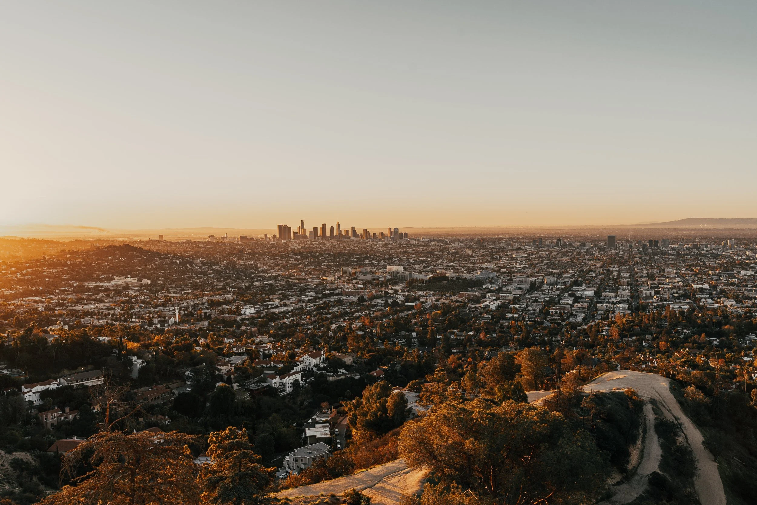
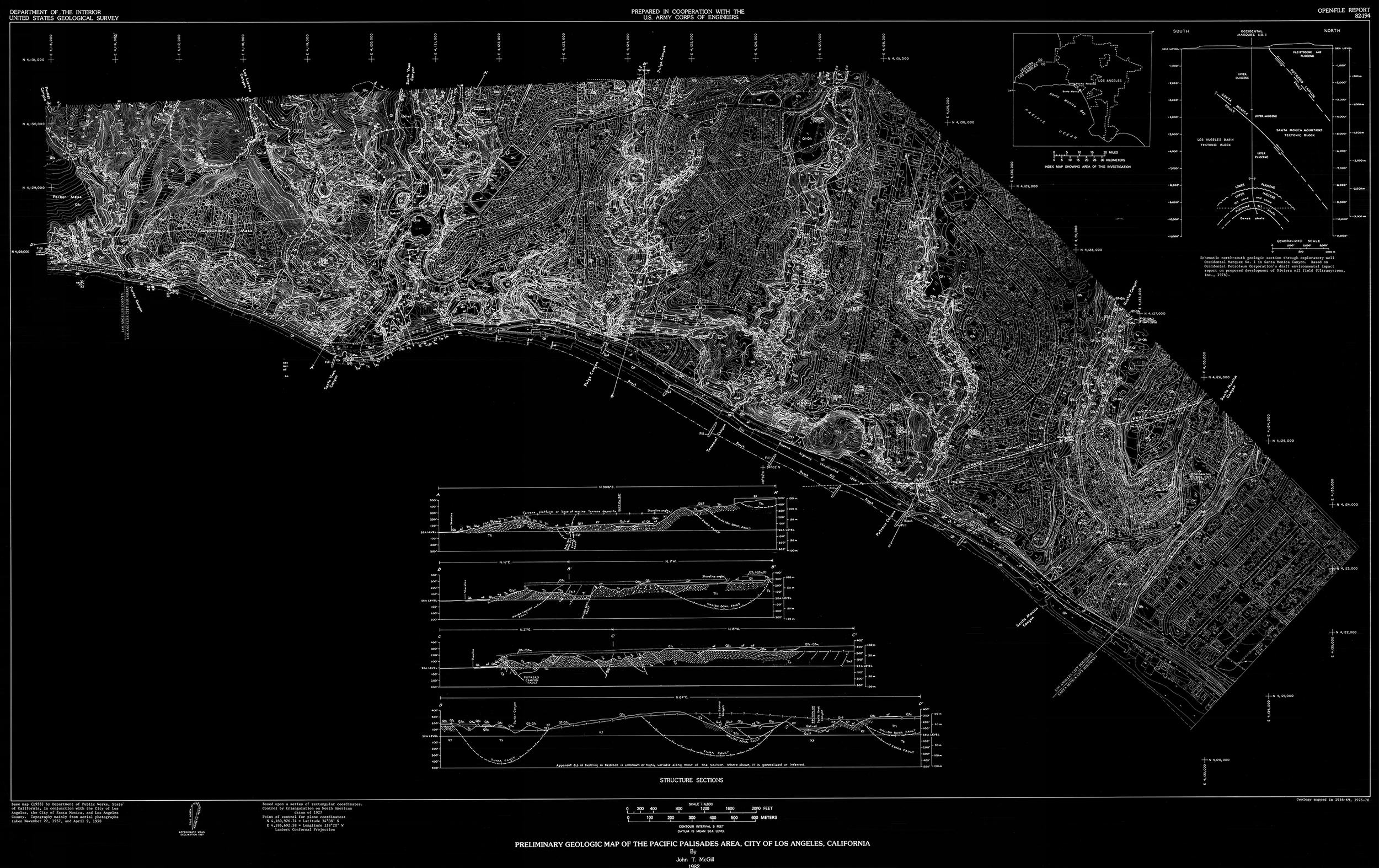
Every place begins in the ground
Terrain, water, and soils set the stage for what can be sustained
We map these base conditions to understand both risk and resilience
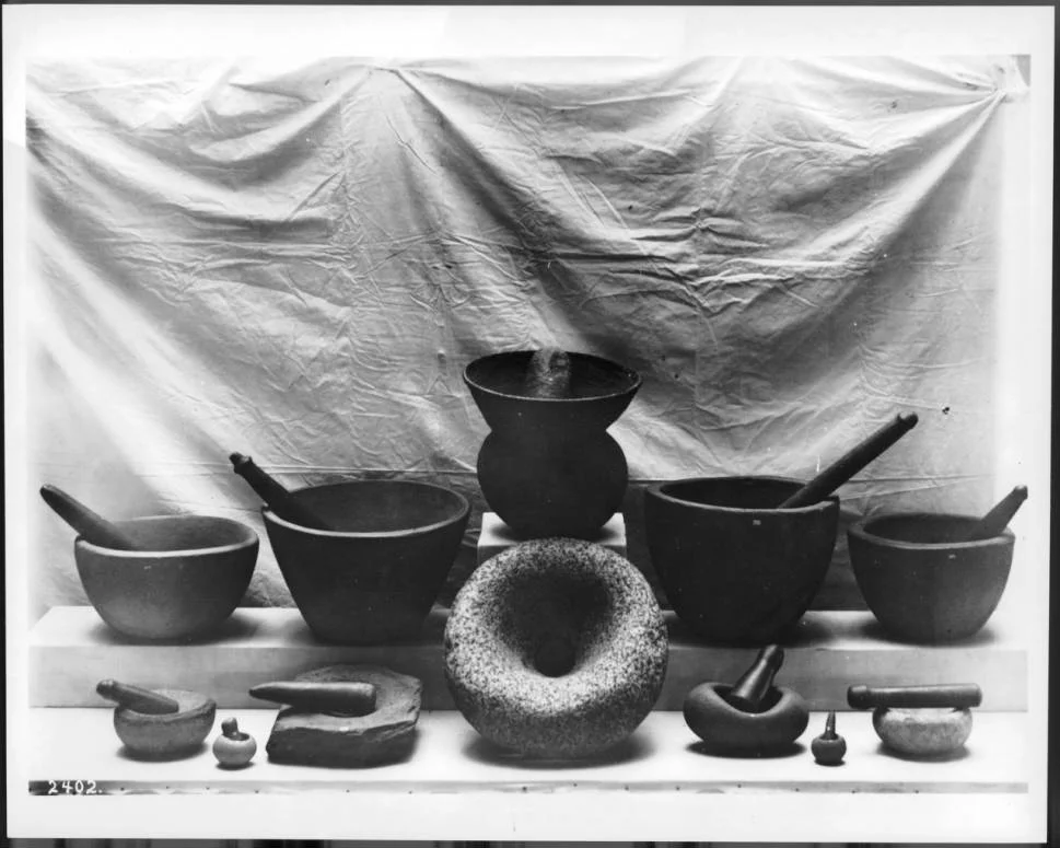
First Stewards
The first stewards of the land shaped paths, dwellings, and relationships to nature
We acknowledge this foundation and look for continuities that still resonate
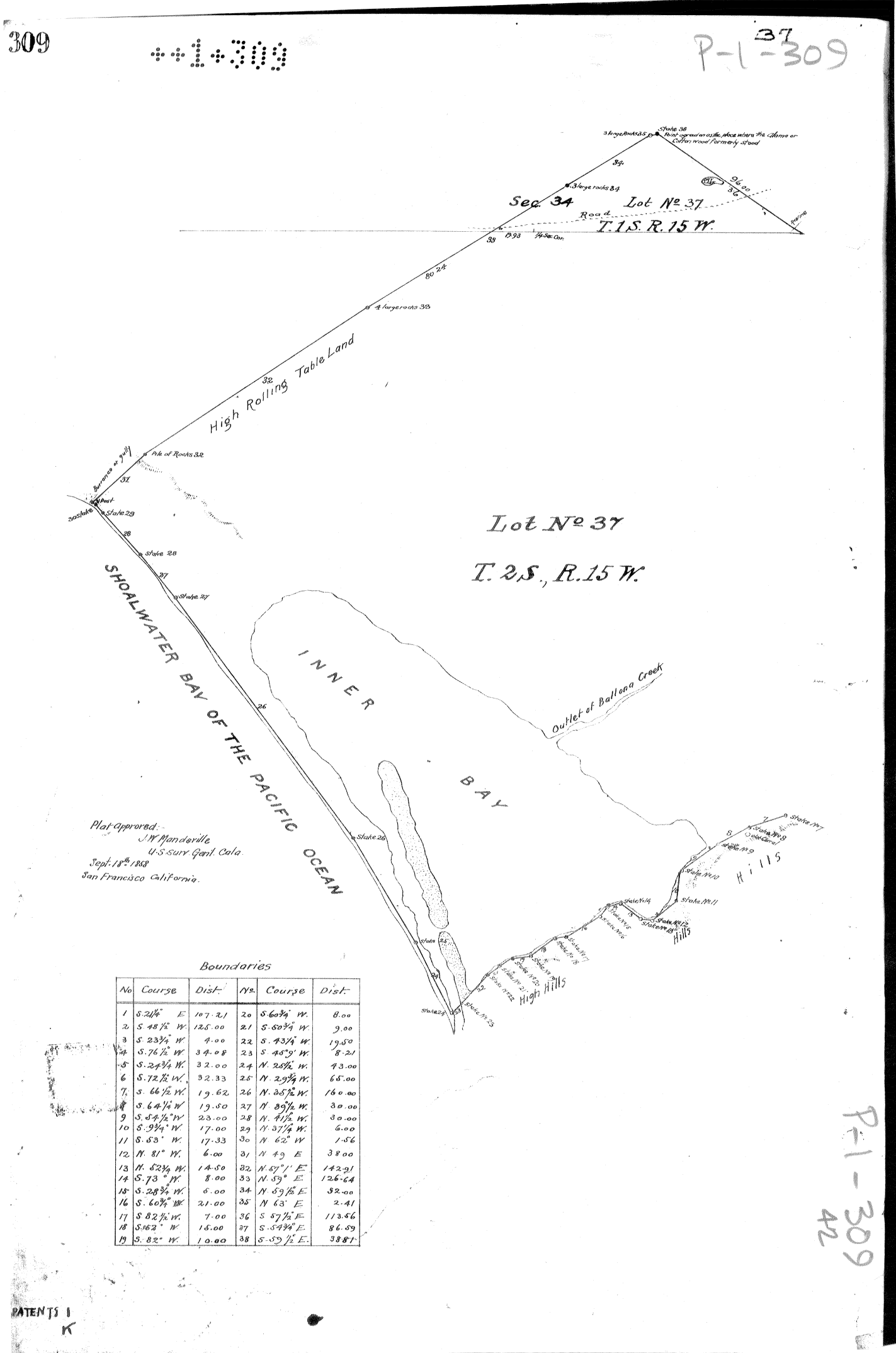
Lines and Boundaries
Boundaries — from ranchos to grids to parcels — define how communities live and build
These divisions carry both opportunity and inequity
We analyze the history of subdivision to reveal structures that persist today
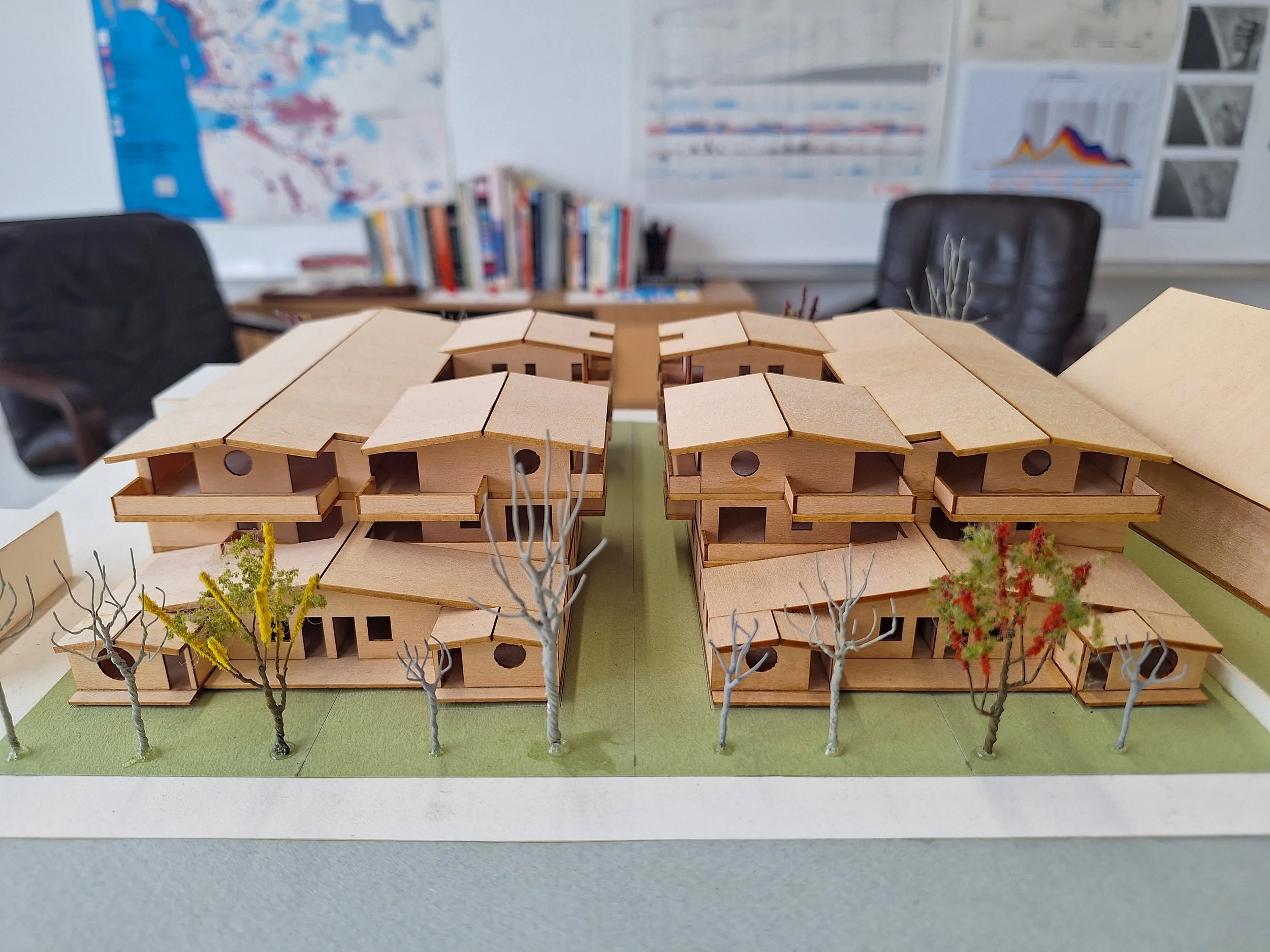
Layers of Growth
Growth layered density and use across the land
Streets, pipes, and power lines knit together cities, while also producing uneven pressures
We read these patterns to project what’s possible
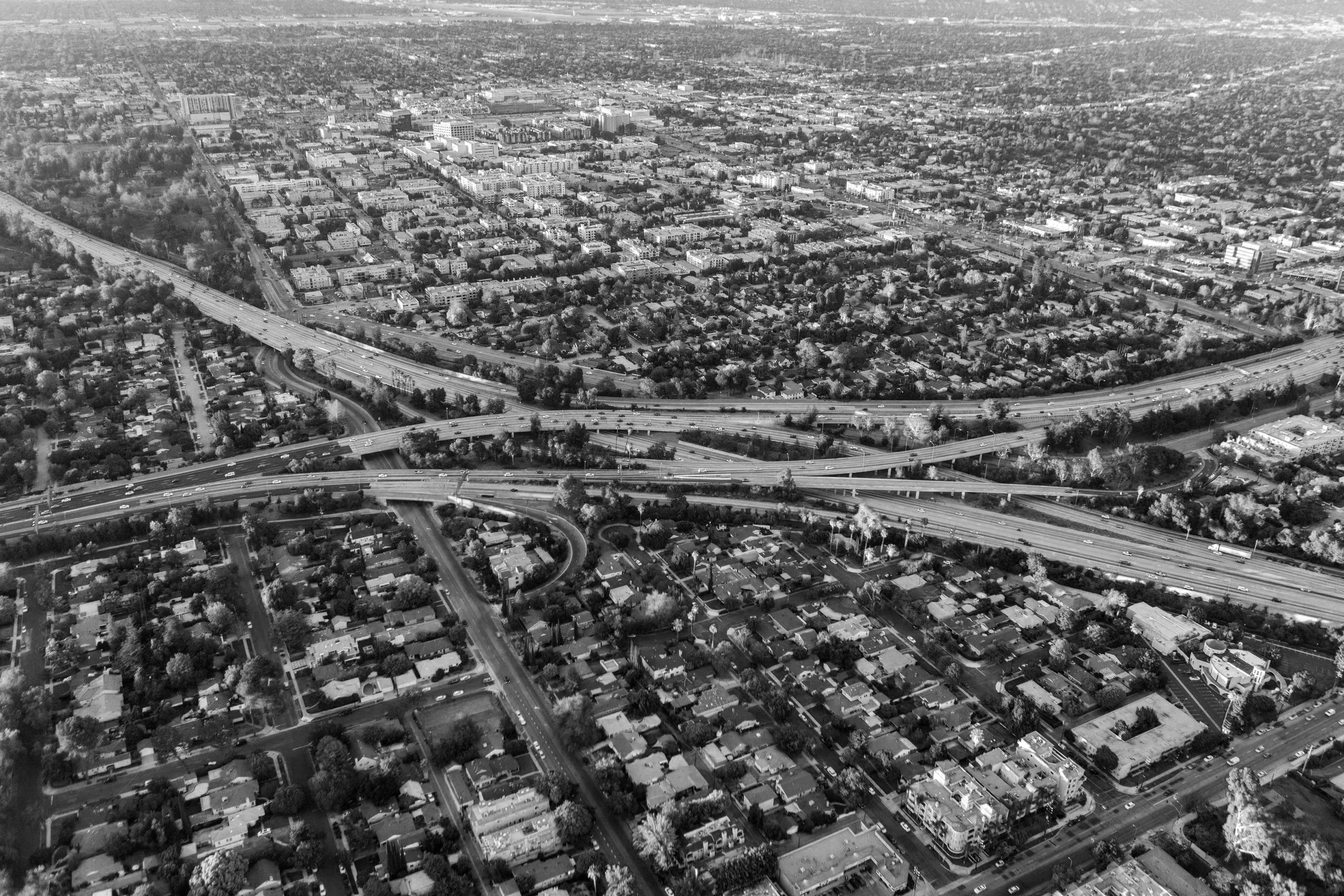
Currents of Movement
Mobility defines access and culture — from streetcars to freeways to rail
Transit systems are living frameworks that shape value, identity, and opportunity
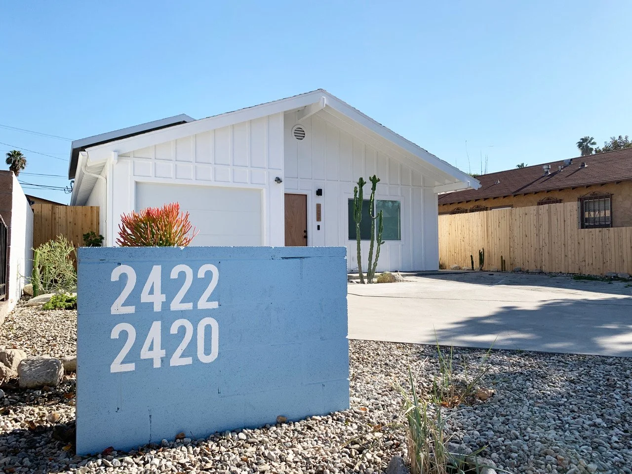
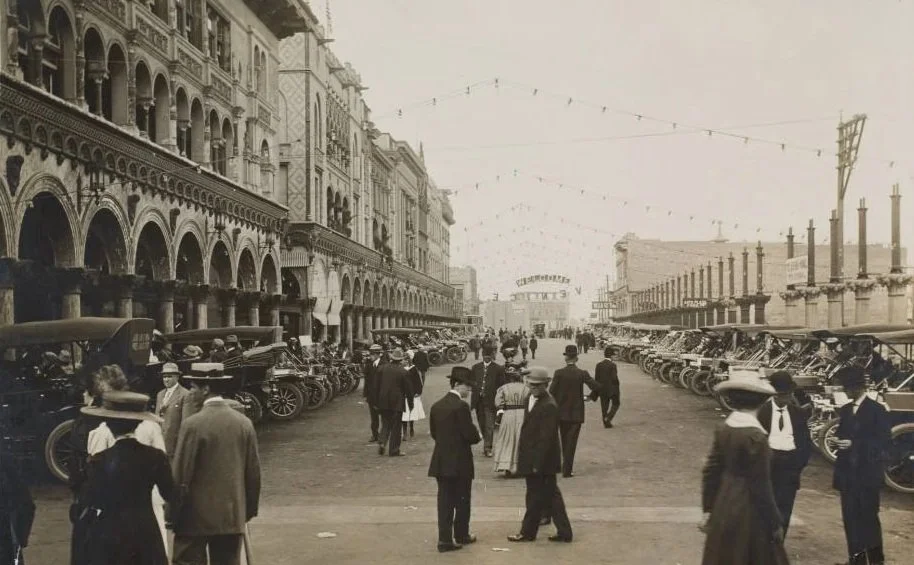
Forms of Living
Buildings embody cultural values in material, scale, and style
We study form and regulation to understand what has been built, what is possible, and what is emerging
Each element — from earth to fabric — reflects a continuity of craft

From Data to Clarity
Across every layer, we work rigorously: gathering data, analyzing results, and distilling clear conclusions
Our approach is multimodal and multidisciplinary, turning complexity into clarity
Continuity in the City
From ground to skyline, our method holds continuity: each layer informs the next
The threads of material, form, and history weave a city that is both inherited and evolving